PyMSES has a Graphical User Interface (GUI) module which can be used to navigate into AMR data. Once installed as described in Installing PyMSES, the GUI can be started with the following python prompt commands:
from pymses.analysis.visualization import AMRViewer
AMRViewer.run()
To load some data, a Ramses outputs folder has to be selected via the toolbar button or the menu.
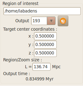
The required output number can be specified with the output number list on the left of the main window
The camera parameters can be adjusted with the line-of-sight axis expander. You can drag-and-drop the line-of-sight axis to modify it interactively. You can also press Ctrl while dragging the axes to perform a rotation around the line-of-sight axis.
A few convenient shortcuts have been added to this menu.
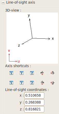
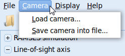
There is a possibility to save and load camera parameter via the Camera menu bar.
The update view button is the trigger to actually read and process the data. Progress can then be seen in the command prompt, until the view has been totally computed.
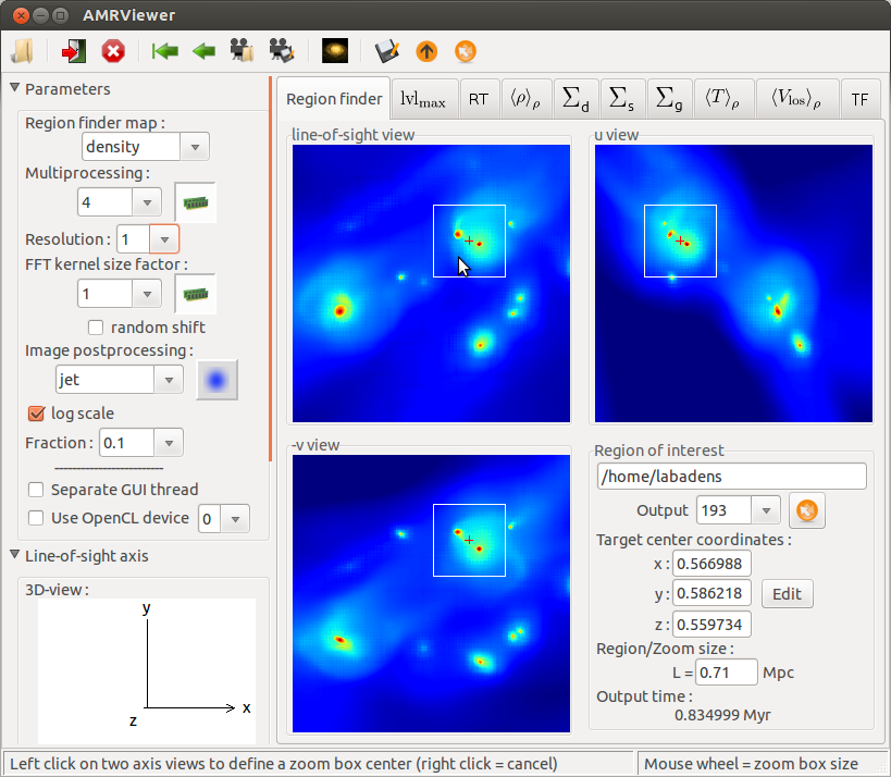
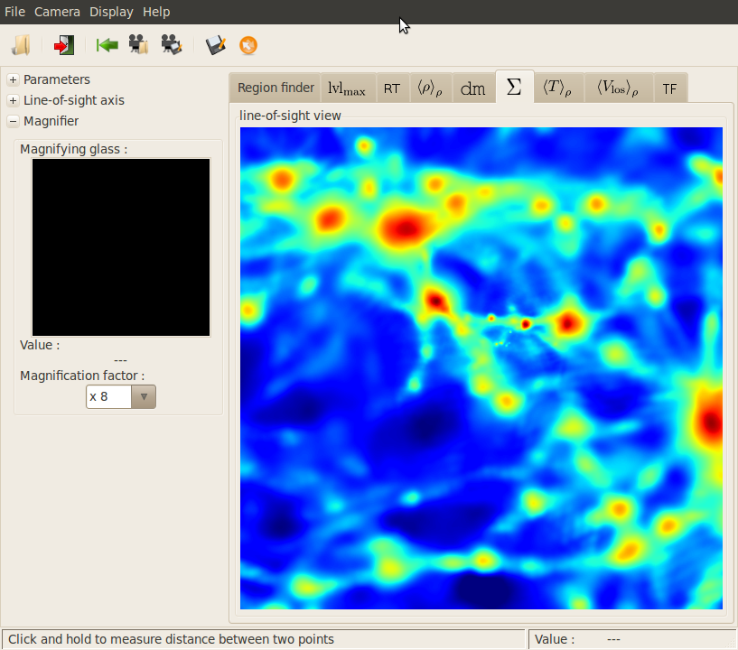
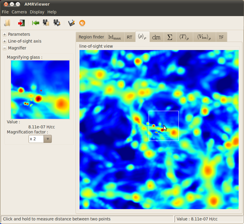
Navigation
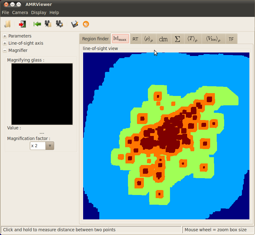
The AMRViewer Region finder is made to navigate through data. Left clicks set the zoom center/zoom box size while right clicks unset them. Mouse wheel let you adjust the zoom box size.
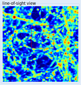
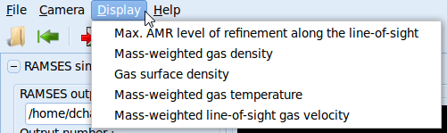
Some other map types can be processed and seen through other tabs as suggested in the display menu:
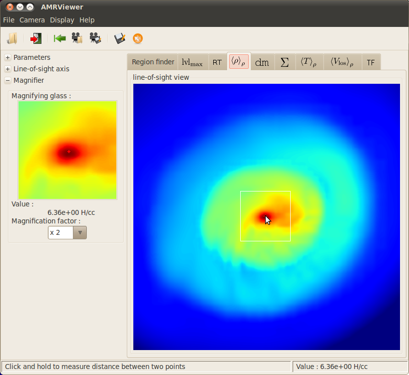
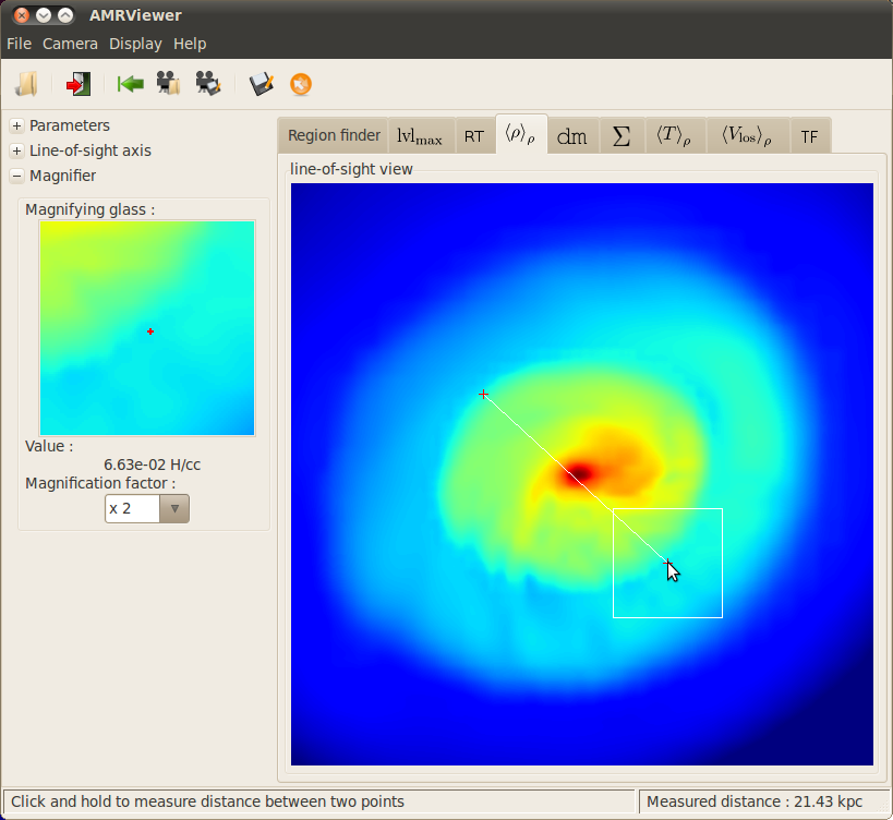
For example, gas surface density projected map (see FFT-convolved maps):
Mass weighted gas density map (see FFT-convolved maps):
l
Max. AMR level of refinement along the line-of-sight map (see Ray-traced maps):
l